


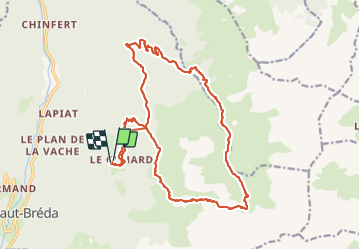

12,2 km | 28 km-effort

Utilisateur GUIDE


Application GPS de randonnée GRATUITE
 SityTrail
IGN / Instituts géographiques
SityTrail World
Le monde est à vous
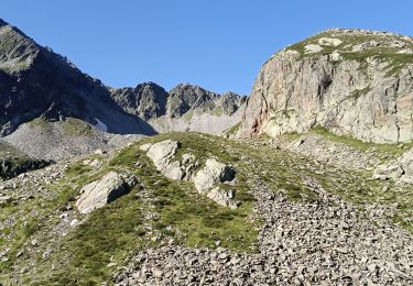
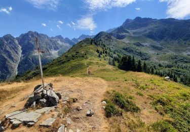
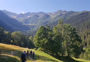
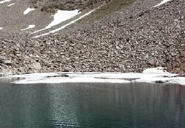
Randonnée Marche de 22 km à découvrir à Auvergne-Rhône-Alpes, Isère, Le Haut-Bréda. Cette randonnée est proposée par nadd73.
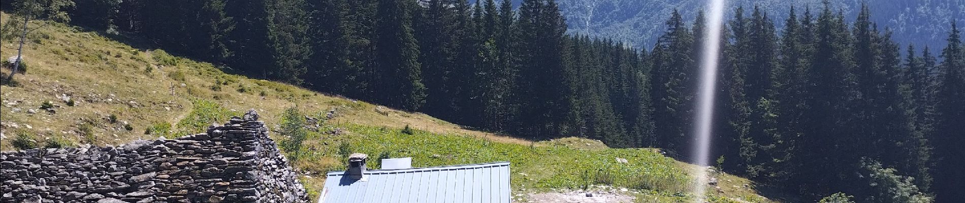
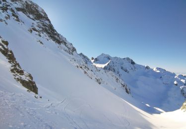
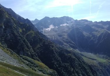
Départ de Gleyzin, col du Vay descente sur les lacs Bivouac.et retour par le barrage longue descente et surtout longue montée. Pour l'allée de la combe Jacques au col la montée est bien soutenue surtout bien chargée
Très joli lieu.


Marche
Ski de randonnée
Marche
Marche
Marche
Marche
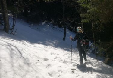
Raquettes à neige

A pied
Marche